Fusing Personalized Engineering Services with Innovative Software Solutions
Fusion Engineering and Technology provides surveying, civil engineering, IT, and other developmental services, combining them with cutting-edge software implementation to expedite projects of any size
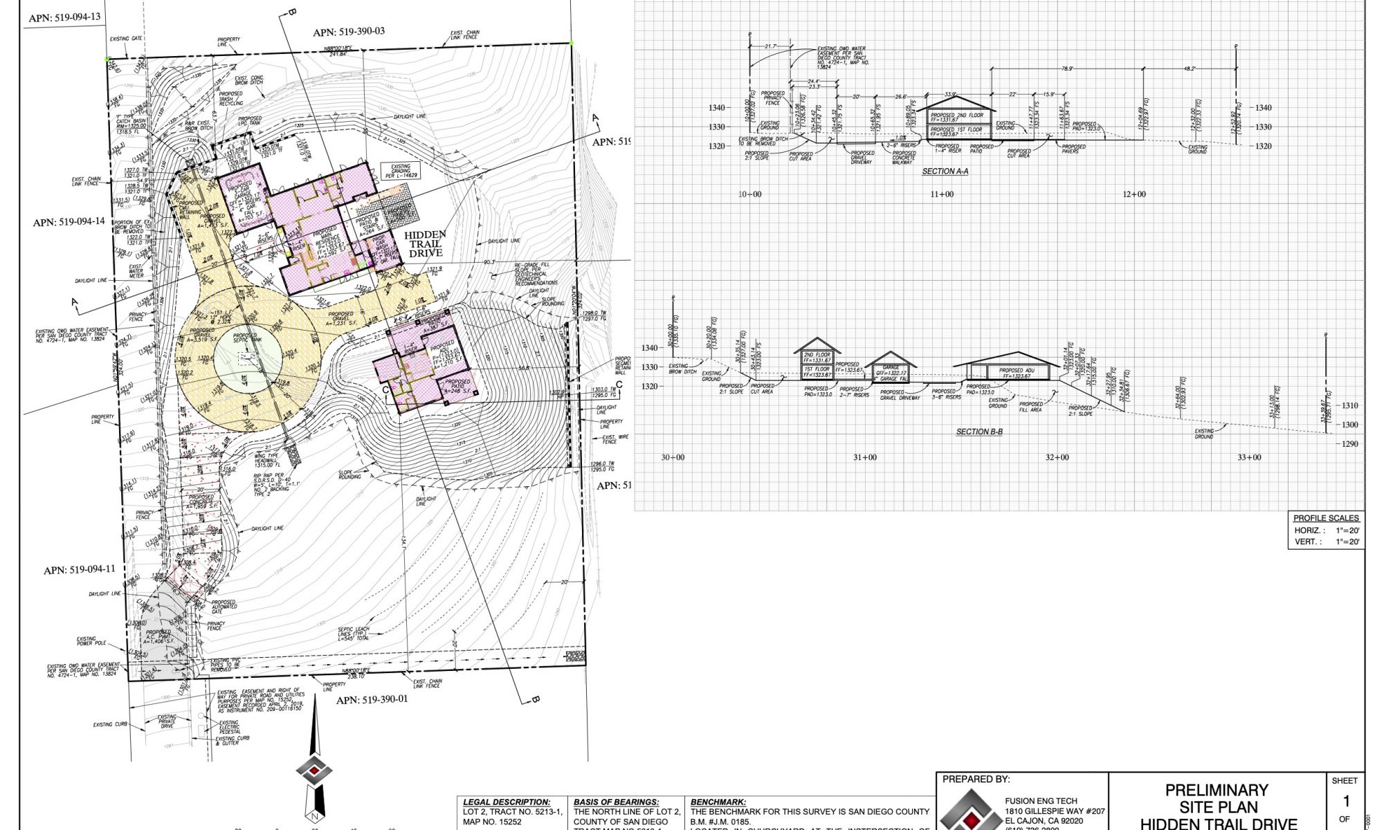
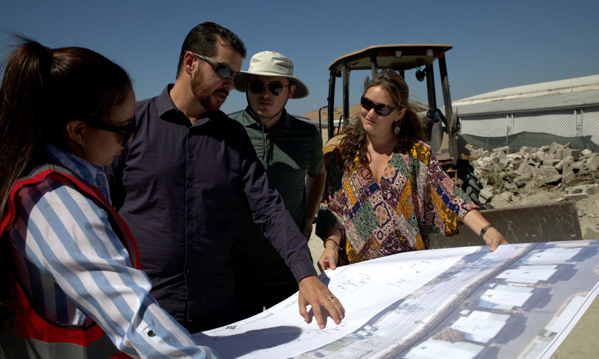
Experienced Civil and Value Engineering Services
Specializing in residential & commercial land development, Fusion Engineering & Technology provides hands on service on engineering and surveying projects ranging from single lot custom builds, to master planned communities.
Cutting Edge Software
& IT Solutions
Having issues with hardware, or any of your software applications? Are you looking to improve a workflow, or want help determining where the bottlenecks are? Whether it be sales or real-life applications, we are here to help.
PROVIDING ENGINEERING & TECHNOLOGY SOLUTIONS
With decades of hands on experience in the AEC industry, Fusion Engineering & Technology provides turn key solutions for your Engineering & Technology demands. Whether you’re in need of an engineering firm to prepare your project’s plans or you are an engineering firm looking to increase productivity and save money, Fusion is here to help! Our strive to streamline production processes has lead our team to the most innovative software solutions available today. We offer those solutions, as well as implementation and support services for them.
Mission Statement
There are no substitutes for experienced skilled engineers when it comes to making difficult design decisions; just as there are no humans that can compete with programs that have been developed for repetitious, tedious tasks.
At Fusion we combine our Engineering and Technology expertise to utilize each for their respective strengths, allowing us to focus energy in the most efficient manner possible. This combination provides our clients time and money savings, while also helping prevent a multitude of potential human error elements that are common in most industries.